
Text written in Basque and translated automatically by Elia without any subsequent editing. SEE ORIGINAL
Bleeding peaks in the pocket
2012/09/17 Portugal Gonzalez, Amaia - Elhuyar Zientziaren Komunikazioa Iturria: Elhuyar aldizkaria
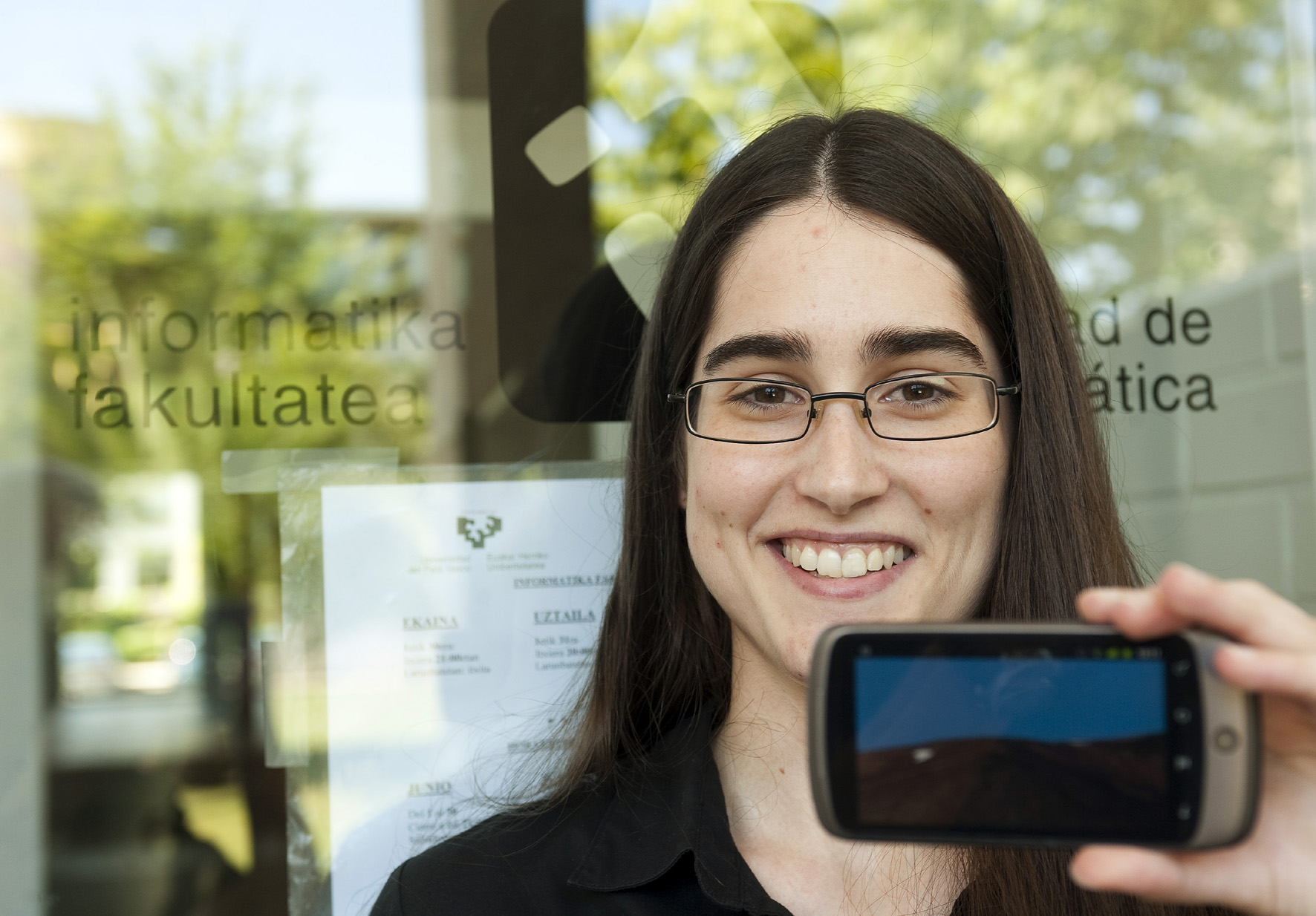
María Teresa Ruiz Monzón, with the application. Ed. Juan Carlos Ruiz / Photo Press
A UPV/EHU computer student has developed an application to be able to use three-dimensional geolocation on Android smartphones. This was the final project of María Teresa Ruiz Monzón. It's like a Google Earth designed for mountaineers, so they can find the way in case mists enter the mountain and avoid cliffs.
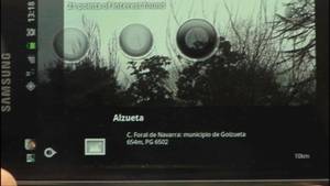
Ruiz has taken from the website of the Basque Government www.geoeuskadi.net relief maps and other geographical data of the ACBC. In addition, it has used the electronic compass that smartphones usually have so that the application identifies where the user is and therefore the map that must show. “I use the compass as a camera. I detect where the phone is and I draw the surface there to see what’s there,” he said. This tool, of course, needs the Internet to perform specific geolocation queries, but also allows to run without network if previously files are downloaded on a card.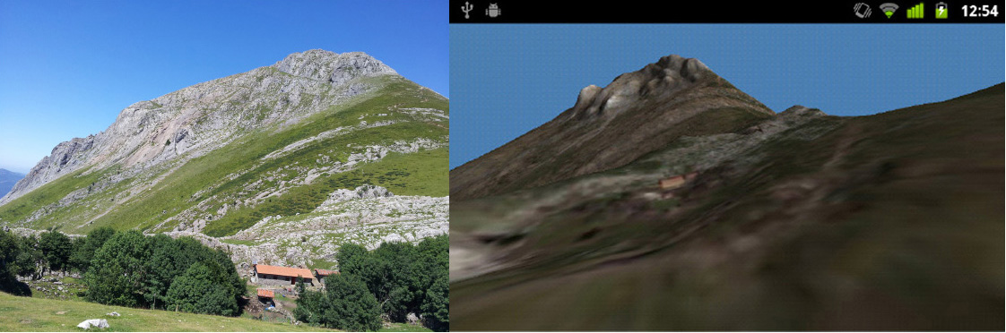
Mount Txindoki, in the Android app. Ed. Technical service
Source: www.basqueresearch.com

eu es fr en ca gl
Gai honi buruzko eduki gehiago
Elhuyarrek garatutako teknologia