
California on fire
2003/10/29 Elhuyar Zientzia
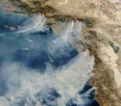
NASA has taken spectacular images of the fires that have sprung up on the California coast, west of the United States. The photo above is obtained from the international station with the instrument called MODIS (Moderate Resolution Imaging Spectroradiometer).
In the image you can see the location of the 13 fires, marked in red, since they are not seen by the terrible smoke produced by them.
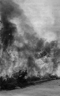
The strong wind in the desert of Santa Ana has greatly hindered the work of firefighters and are already dead. In a few days more than 150,000 hectares of forests, agricultural land and villages have been burned.
As the wind blows they hope to take control of the fire, it has reached Mexican lands.

Gai honi buruzko eduki gehiago
Elhuyarrek garatutako teknologia