
How to fight diseases from space
2001/02/21 Galarraga Aiestaran, Ana - Elhuyar Zientzia
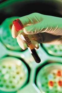
Water wells become mosquito nurseries and can contaminate malaria, and dirty water and spoiled food can spread typhus and cholera. In addition, people who accumulate in refugee camps can more easily spread diseases such as meningitis and measles.
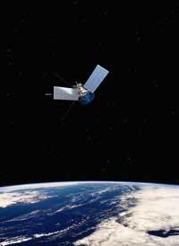
At this year's meeting of the American Association for the Advancement of Science (AAAS), Stephen Guptill explained that the best tool for measuring the spread of disaster can be the satellite. In addition, you can know the transfers of people.
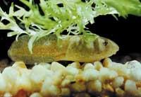
Detailed geographic maps can be added to the information collected by the satellite and, for example, combined with census information or mosquito distribution, to predict the risk of certain diseases.
The greatest difficulty is to collect detailed maps and specific data in detail. This makes the project much more expensive, although the use of the Internet makes it much easier for people to collect data.
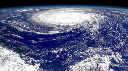
In the future, the Red Cross can use this information globally to respond to the consequences of disasters and predict risks. For example, in the southeast of the United States are hurricanes and strong summer storms and mosquitoes that transmit encephalitis. Therefore, they have already begun to develop these systems with the idea that they will be of great help.

Gai honi buruzko eduki gehiago
Elhuyarrek garatutako teknologia