
Text written in Basque and translated automatically by Elia without any subsequent editing. SEE ORIGINAL
That of the Earth
2002/12/12 Elhuyar Zientzia
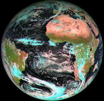
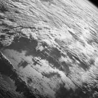
The second-generation satellite Meteosat was released on August 28 and the first images have now been received. Three of the 12 channels running Meteosat have obtained the photo with data collected from some channels working with visible and infrared spectrum.
The image clearly shows the deserts and green areas of Africa and South America. And although the places under the cloud are invisible, the satellite is also able to distinguish if those clouds are formed by water or ice.
The data you will receive from now on will allow you to have relevant information on climate and time in Europe.
For more information click here.

eu es fr en ca gl
Gai honi buruzko eduki gehiago
Elhuyarrek garatutako teknologia