
Text written in Basque and translated automatically by Elia without any subsequent editing. SEE ORIGINAL
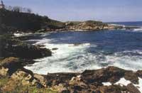
The sea is costing
2001/08/07 Elhuyar Zientzia
Scientists from the UK intend to represent maps of the influence of erosion by satellite images.
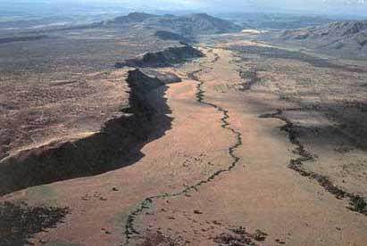
In some areas of the English coast, the sea erodes the land about 25 centimeters a year. This is the case with Filey. Now, geologists, using satellite images, want to conduct a study of this erosion and for this they have set two objectives.
On the one hand, they want to develop a complete map of erosion in the UK and, on the other, a three-dimensional model of a stretch of coast through the computer. Thus, they hope to be able to decide where to place the protections against the sea.

eu es fr en ca gl
Gai honi buruzko eduki gehiago
Elhuyarrek garatutako teknologia