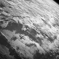
Satellite to measure wind and clouds from pole to pole

From now on, meteorologists will be able to measure the height of the clouds from the North Pole to the South Pole. The Terra satellite will take care of this and, among other things, will measure the layers of clouds and the winds of the poles and other latitudes. Terra was fired in 1999 and is still an experimental satellite. Until then, the winds moving the clouds were measured by geostable satellites located in the equator, while satellites located on the Earth's surface only measure the light reflected in one direction.
Therefore, no detailed information on the wind at the poles is received. With this new system you can get stereoscopic images of the clouds. Nine cameras measure reflected sunlight in many other directions and, in seven minutes, analyze the nine angles of a specific target. Today, the satellite takes nine days to study the entire earth, but scientists are developing a system to improve the method and obtain information in less time.
Buletina
Bidali zure helbide elektronikoa eta jaso asteroko buletina zure sarrera-ontzian


